What do we do?

Drone Photography
Drone Videography
Drone Videography
Drone photography refers to the practice of capturing aerial images and videos using unmanned aerial vehicles, commonly known as drones. The use of drones has revolutionised photography, offering a new perspective on the world and allowing us to capture stunning images that were previously inaccessible.

Drone Videography
Drone Videography
Drone Videography
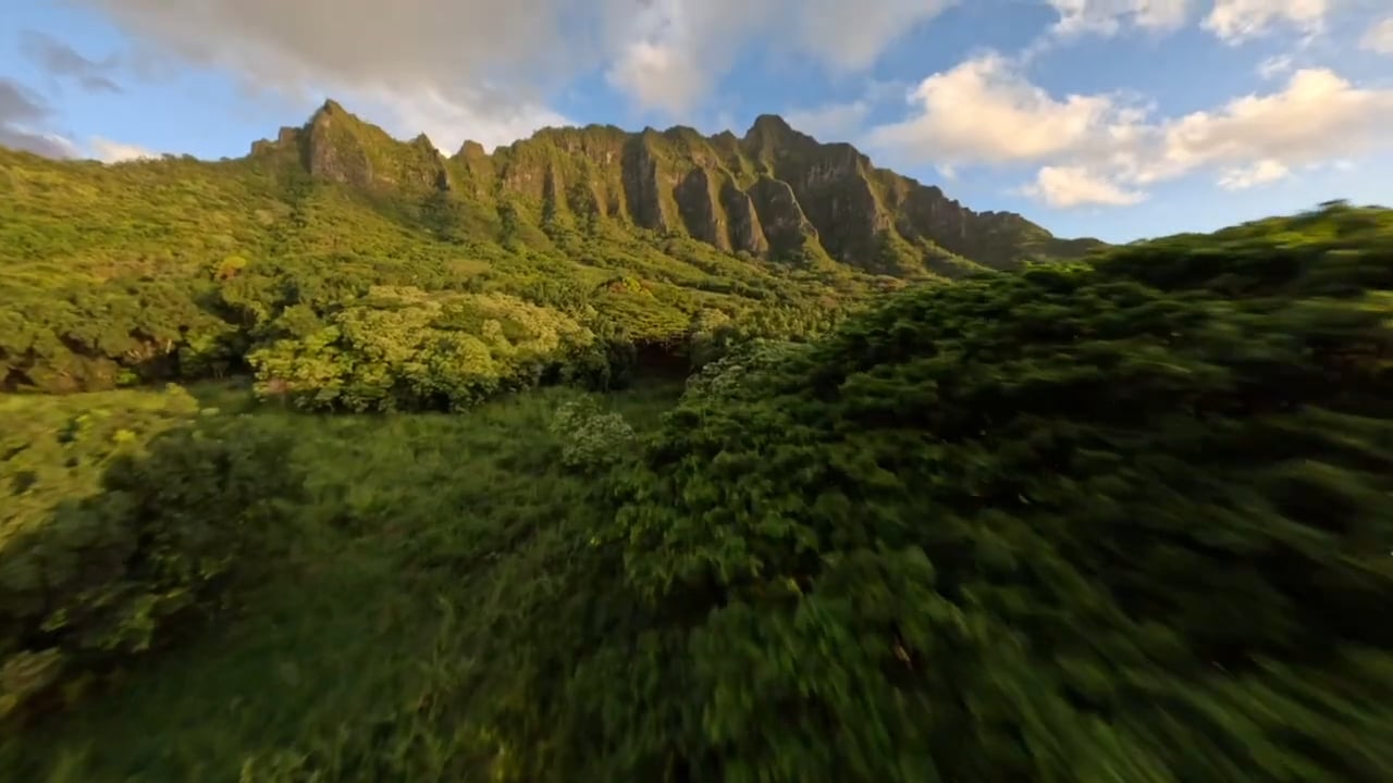
Traditionally, videography refers to the process of capturing moving images using electronic media such as digital cameras, video cameras, or smartphones, but we use drones! It is a versatile medium that is used to capture a wide range of content, from personal events such as weddings and family gatherings to commercial projects such as advertising, social media and corporate video content.

Aerial Inspections
Drone Videography
Aerial Inspections
Aerial inspections have become increasingly popular in recent years, as using a drone removes the need to erect scaffolding or send people up in lifting equipment. With their ability to fly to great heights and hover in place, drones can capture unique and detailed images of areas that would be difficult or dangerous to access in traditional methods.

Thermography
Agricultural Survey
Agricultural Survey
Thermography refers to the process of using thermal drone cameras to capture infrared radiation emitted by objects and surfaces. This technique is based on the fact that all objects with a temperature above absolute zero emit infrared radiation, which can be detected and measured with thermal imaging cameras. The resulting images show var
Thermography refers to the process of using thermal drone cameras to capture infrared radiation emitted by objects and surfaces. This technique is based on the fact that all objects with a temperature above absolute zero emit infrared radiation, which can be detected and measured with thermal imaging cameras. The resulting images show variations in temperature across the surface of an object or environment, providing valuable information about temperature patterns, heat loss or gain, and other thermal characteristics.
Agricultural Survey
Agricultural Survey
Agricultural Survey
An agricultural drone survey refers to the use of unmanned aerial vehicles (UAVs) or drones equipped with specialised sensors and cameras to gather data about crops, fields, and other environments. The drone is flown over the land and captures high-resolution images that can be used to assess crop health, detect diseases and pests, monit
An agricultural drone survey refers to the use of unmanned aerial vehicles (UAVs) or drones equipped with specialised sensors and cameras to gather data about crops, fields, and other environments. The drone is flown over the land and captures high-resolution images that can be used to assess crop health, detect diseases and pests, monitor irrigation and soil conditions, and create maps and 3D models of the farmland.
3D Mapping
Agricultural Survey
3D Mapping
3D modeling refers to the process of creating a three-dimensional representation of an object, surface, or scene using specialised drone software. This technique involves building a digital model of the object, which can be viewed from different angles and manipulated in various ways. 3D modeling is used in a wide range of applications, i
3D modeling refers to the process of creating a three-dimensional representation of an object, surface, or scene using specialised drone software. This technique involves building a digital model of the object, which can be viewed from different angles and manipulated in various ways. 3D modeling is used in a wide range of applications, including product design, architecture, film and video game production, and scientific visualisation.


